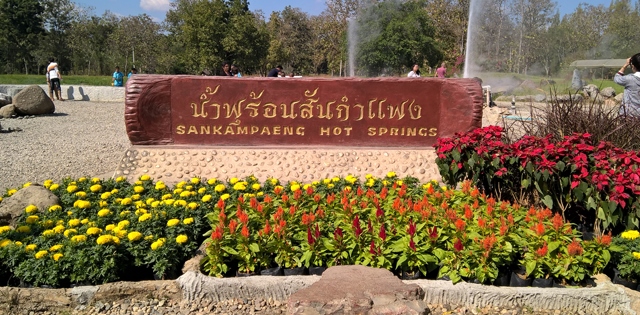
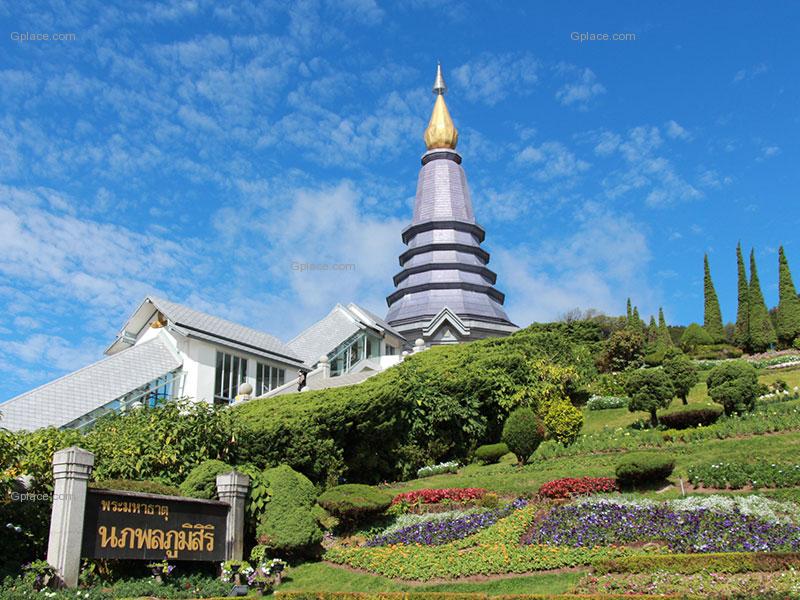
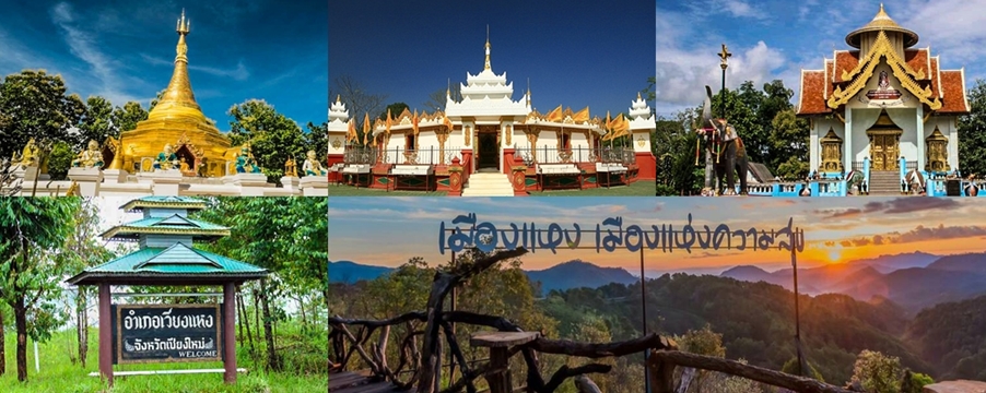
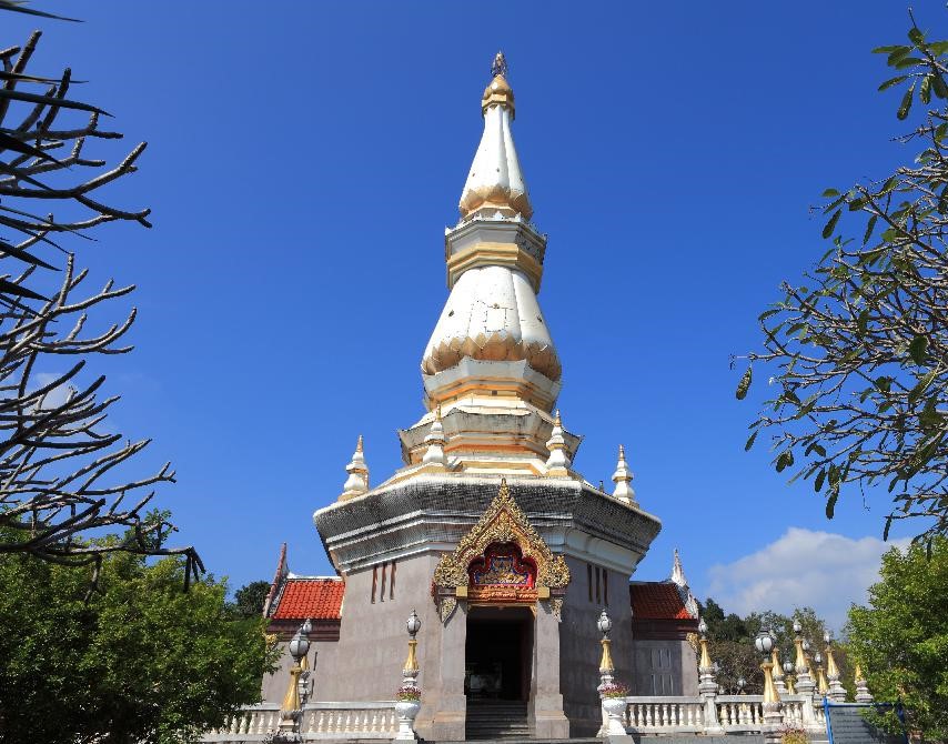
 Doi Wiang Pha National Park


242 view · 21 Feb 2024
#Thailand#Chiang Mai#Chai Prakan#Attraction
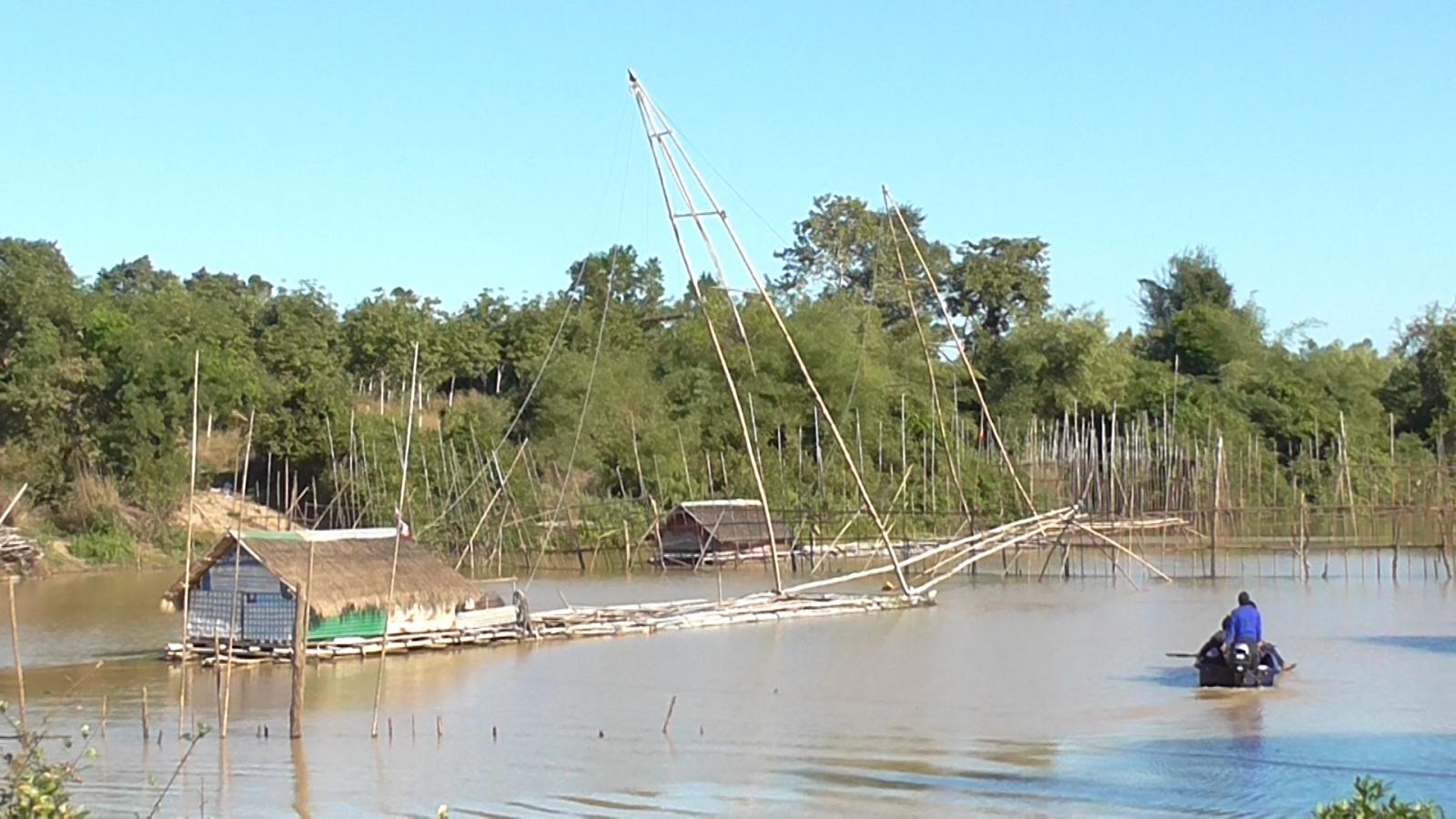
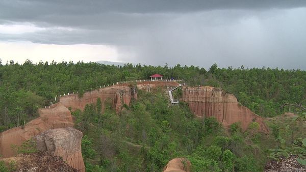
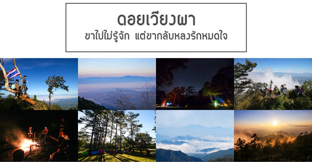
Doi Wiang Pha National Park It covers an area of approximately 583 kilometers, or approximately 364,375 rai, covering the Mae Fang River Basin National Reserved Forest. Chiang Mai Province and the Mae Lao National Forest Reserve on the left bank Chiang Rai The topography is a mountain range alternating spoons. Mountain ranges lie in the north-south direction. Divide the provinces of Chiang Mai and Chiang Rai apart. The highest peak is Doi Wiang Pha, which is 1,834 meters above sea level. It is an important watershed forest. especially the Fang River and a branch of the Lao River
 Routes for place
(Not found)
Other Places...